16 December 2019
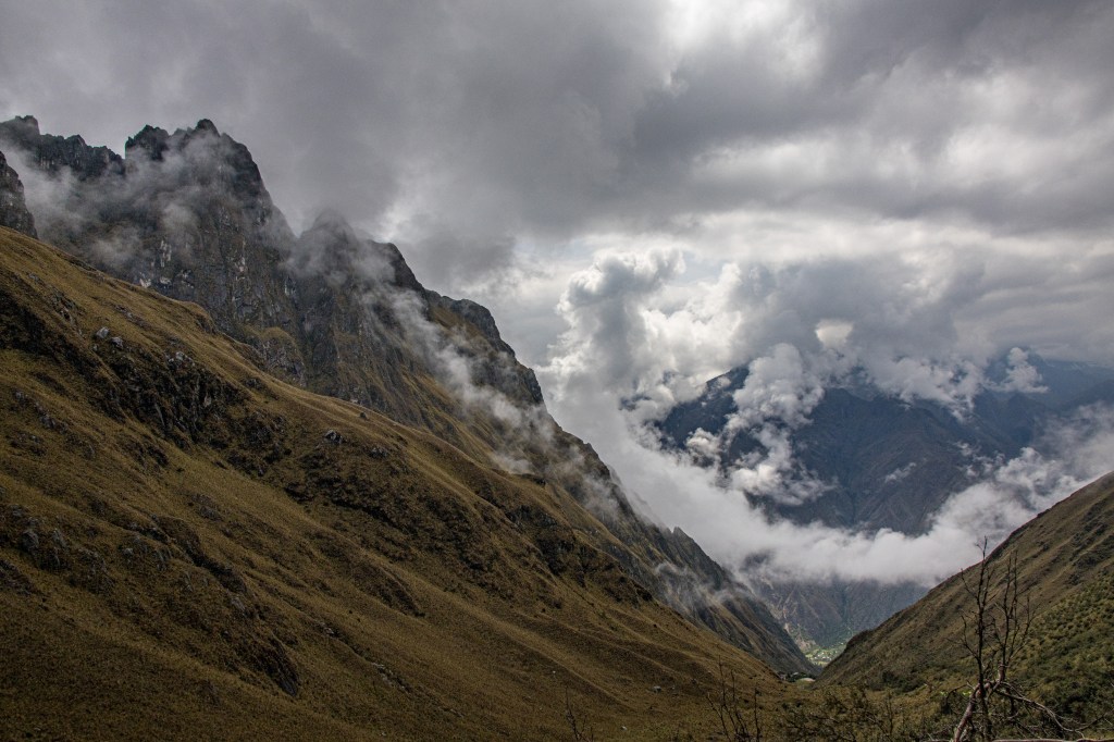
We’re in southern Chile now, currently in Puerto Varas and headed south to Lenca today, and we’re finally getting around to writing something about our hike on the Inca Trail. Needless to say, that was a beautiful trip in some of the prettiest country we’ve walked in.
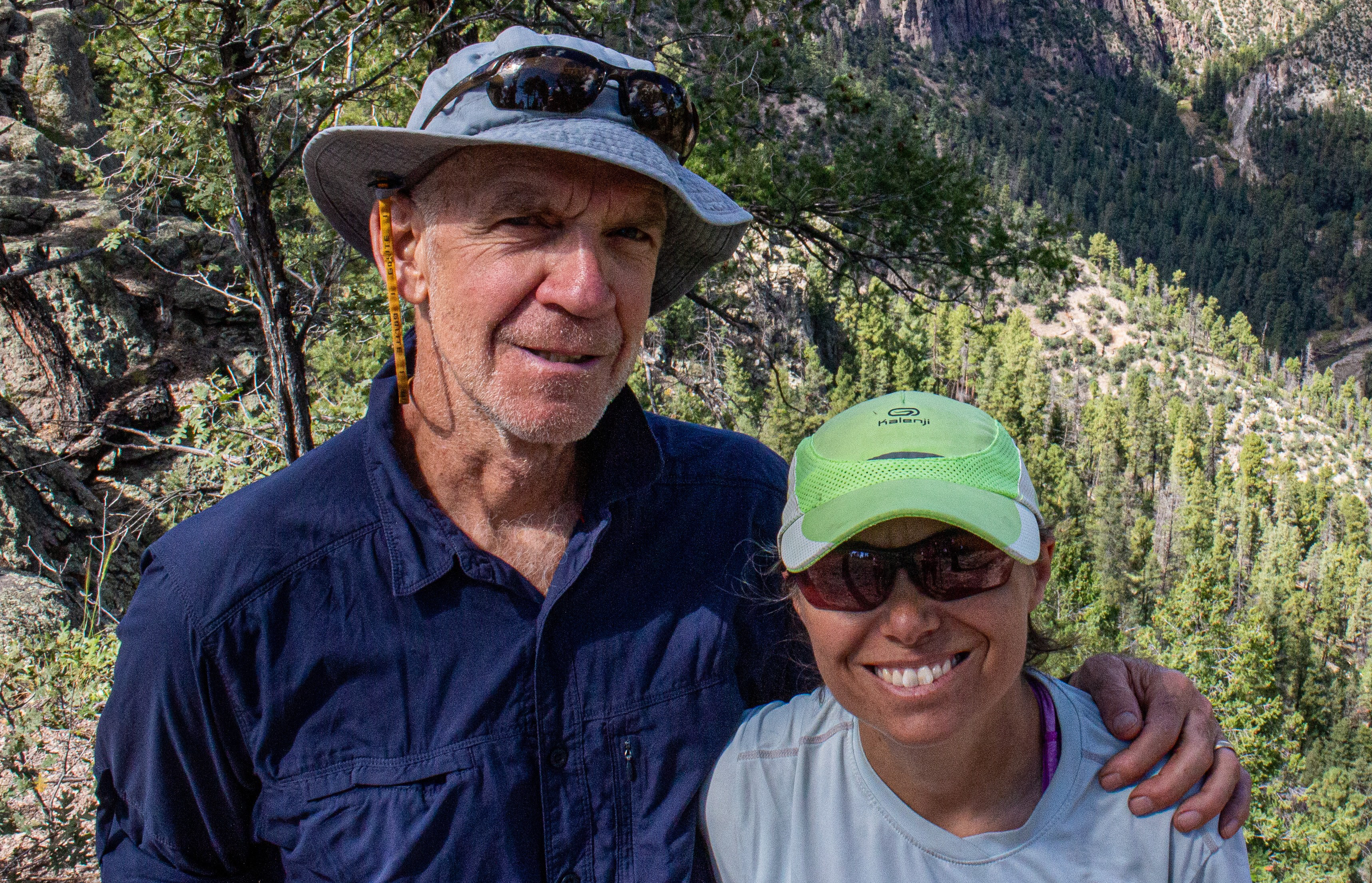
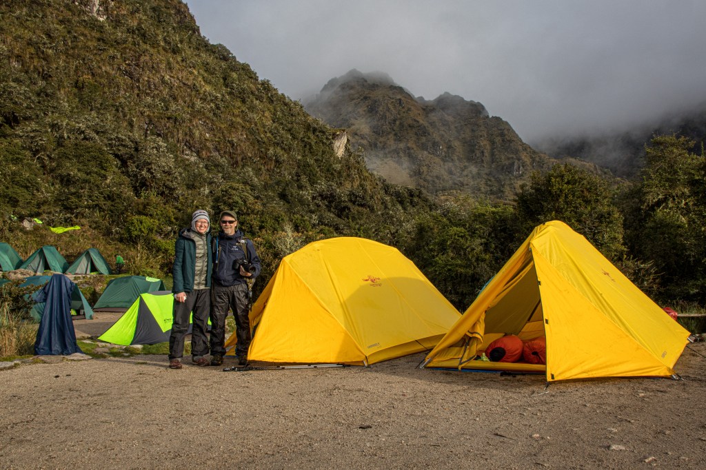
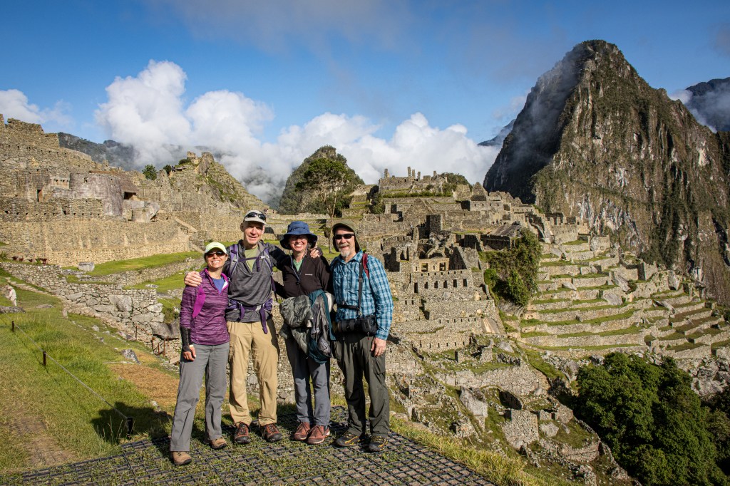
Susan and I were joined by Karen and Mike Bryant for this trip and we booked the hike with a local Cusco company – Llama Path.
Hiking the Inca Trail, by Peruvian law, is no longer something you get to do by yourself, you have to have a guide. Coming from a background of only doing self support trips, whether backpacking or running rivers, it was just a little bit of a shock when we learned that our group of 4 was going to have one guide, one cook and 9 porters to carry a small expedition camp for us. That’s more than 2 supporters per each of us!
While the notion of having all that support was honestly a little embarrassing at first, we came to understand it’s value to both the trail and to the the local indigenous population. Given the large number of people that hike the trail every year, using local guides helps maintain it in a reasonably pristine way. We were impressed that the trail was well maintained and free of litter which might not have been so if it was open to unlimited self support trips. Sure, the fun of pulling together your own trip might be lost but, once we got into it, we found that the pampered approach worked for us on this one.
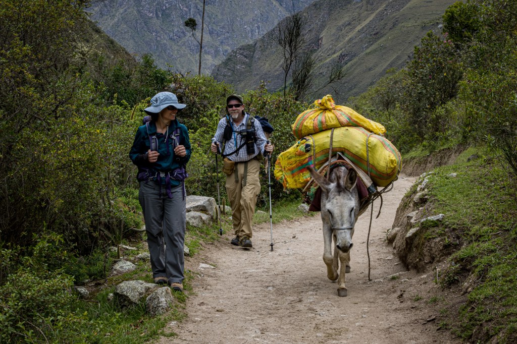
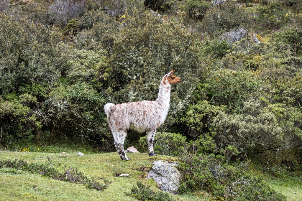
The other side of the story is the porters. These were all young to middle aged men from indigenous mountain communities in the high Andes. They all come from homes where Quechua was spoken as the primary language. There is little or no work up there so, as we hear the story, the men mostly leave town to work in tourism, as porters and guides, or in mining or other similar activities. So at some level, we’re helping them out by providing a living that doesn’t involve plundering the earth and destroying some of their beautiful natural assets. On top of that, porting backpacks is probably a lot safer than the conditions found in Peruvian mines.
From everything we could find out, it appears that Llama Path is one of the leaders in providing good living and working conditions for their porters.

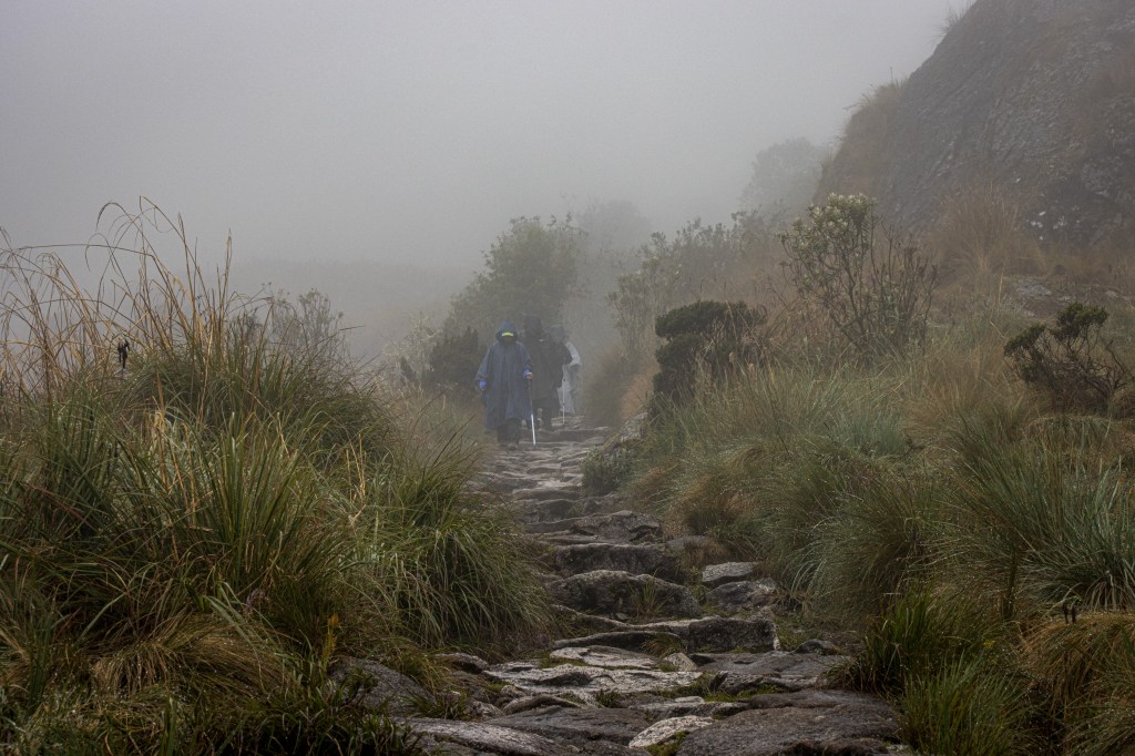
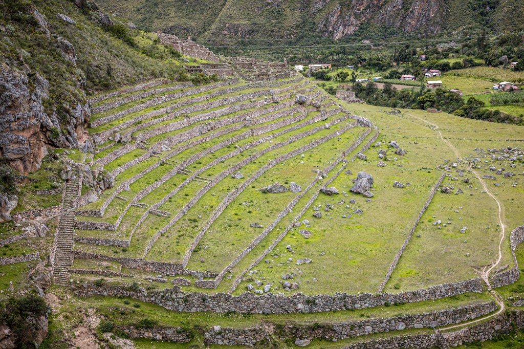
The trail started relatively flat as we followed the Urubamba river downstream and into the Machu Picchu reserve. For the first day we walked through small villages that were only accessible by hiking in on the trail or packing in the things people need with horses or donkeys.
We hiked about 10 miles on the first day, starting at 8,900 feet in elevation and ending at 10,800 feet for our first campsite. Our guide, Pepe described the ruins and a bit of Inca history along the way – we passed ruins at Wayallabamba and Ayapata. Over the course of our 4 days of hiking with Pepe he built a history, using the ruins as a catalyst for story telling, of the indigenous people of the Andes from pre-Incan times through to the invasion of the Spanish in South America.
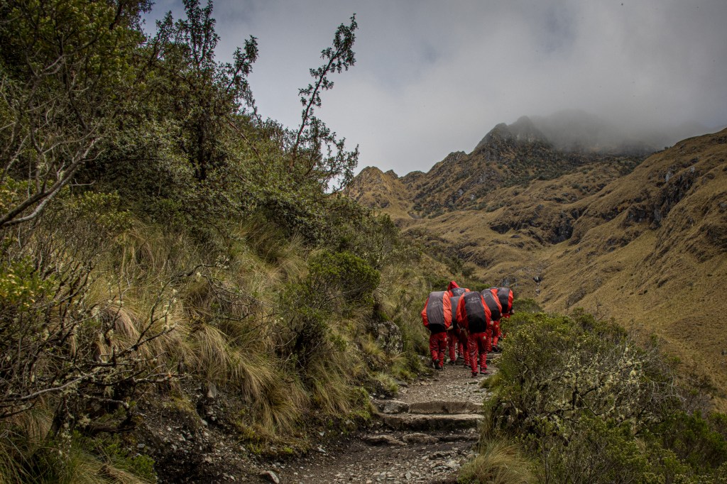
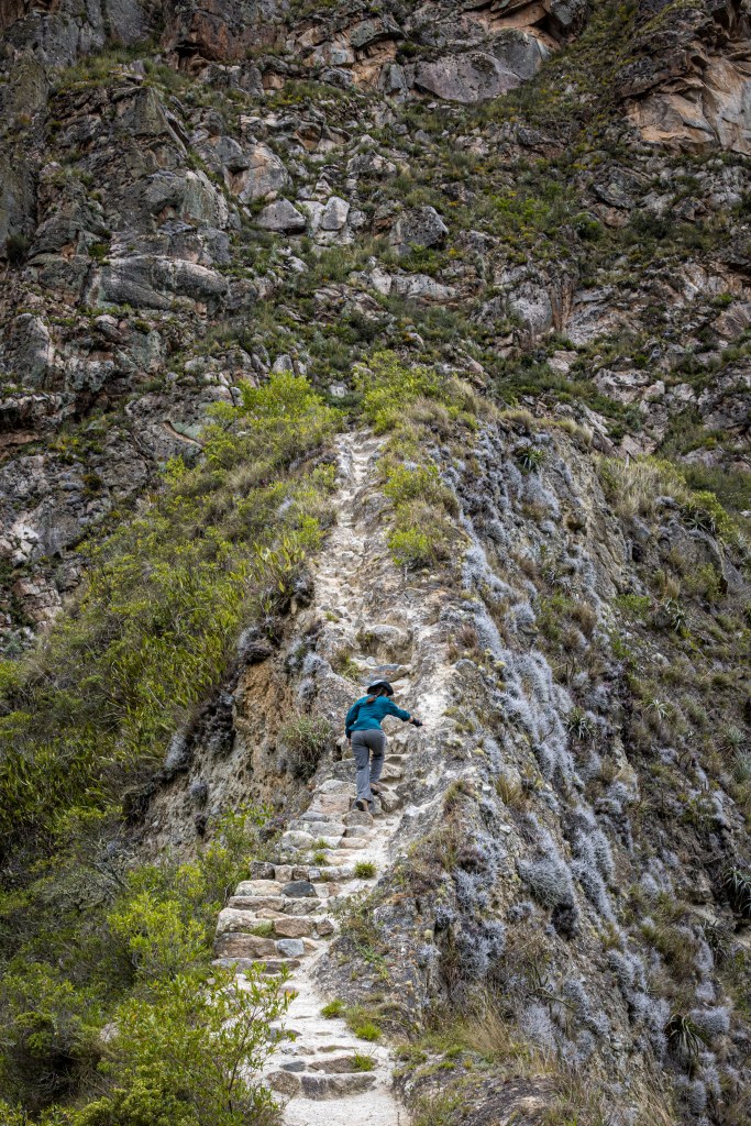
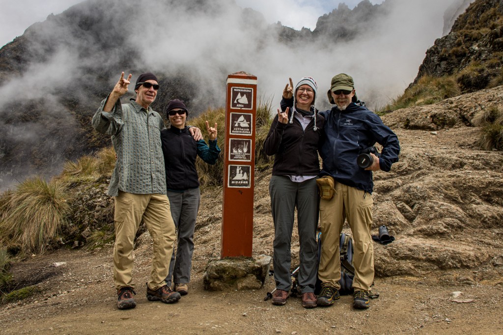
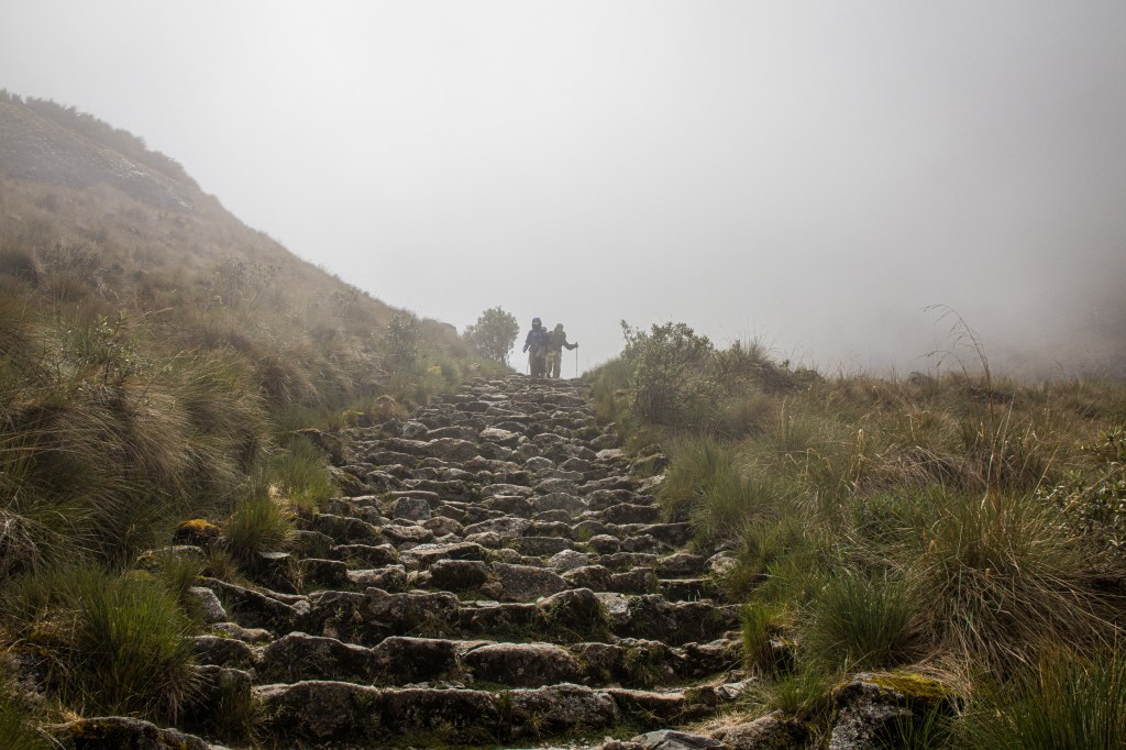
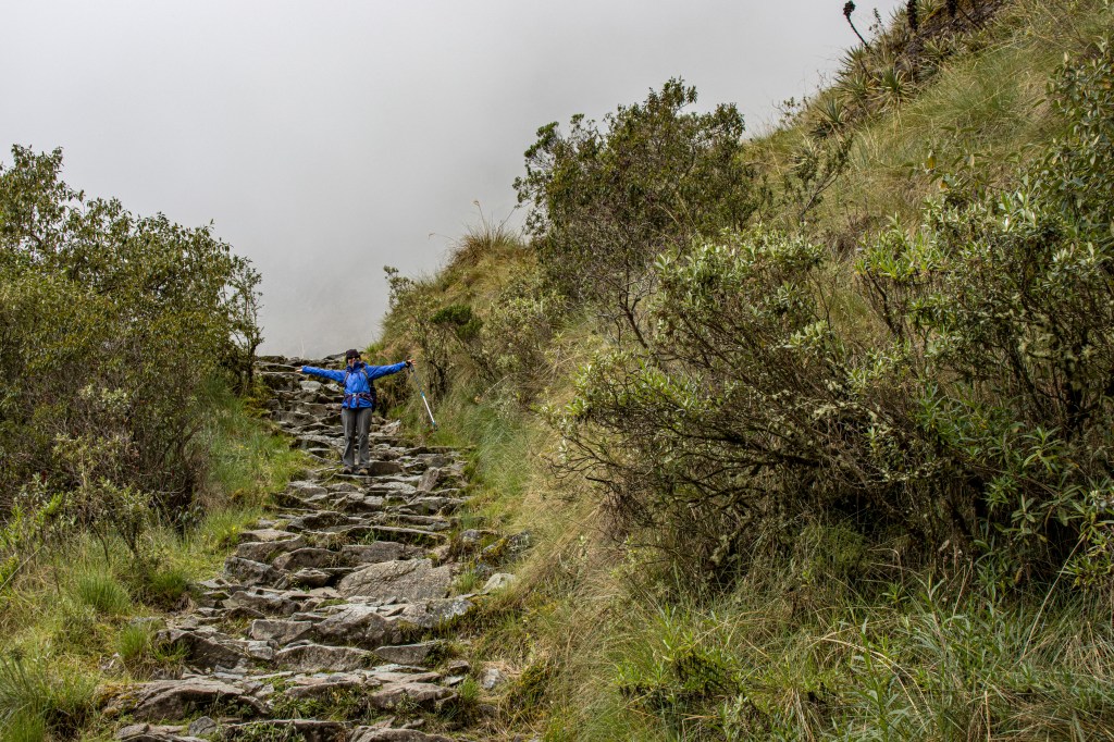
Day 2 was our big climbing day. We were up early, before 5AM, and after a big breakfast we were hiking by 6AM. The first pass is called “Dead Woman’s Pass”, named after a profile on the ridge, topped out at 13,780 feet. That was a 2,000 foot climb, and a lot of steps! The problem was that we then had to hike down about 2,000 feet to Pacaymayu only to climb another 1,500 feet back up to 2nd pass before descending down to our campsite at 11,800 feet. Lot’s of steps and lots of up and down but only about 7 miles so all in all not a bad day. Well, there was the rain of course that fell on us for most of the the afternoon …
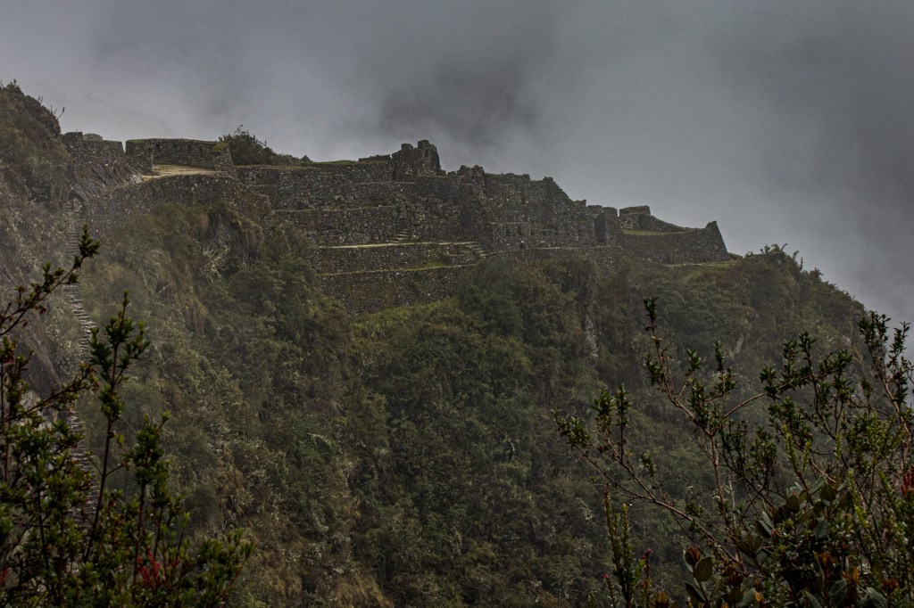
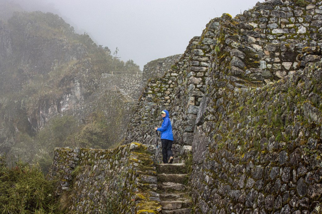
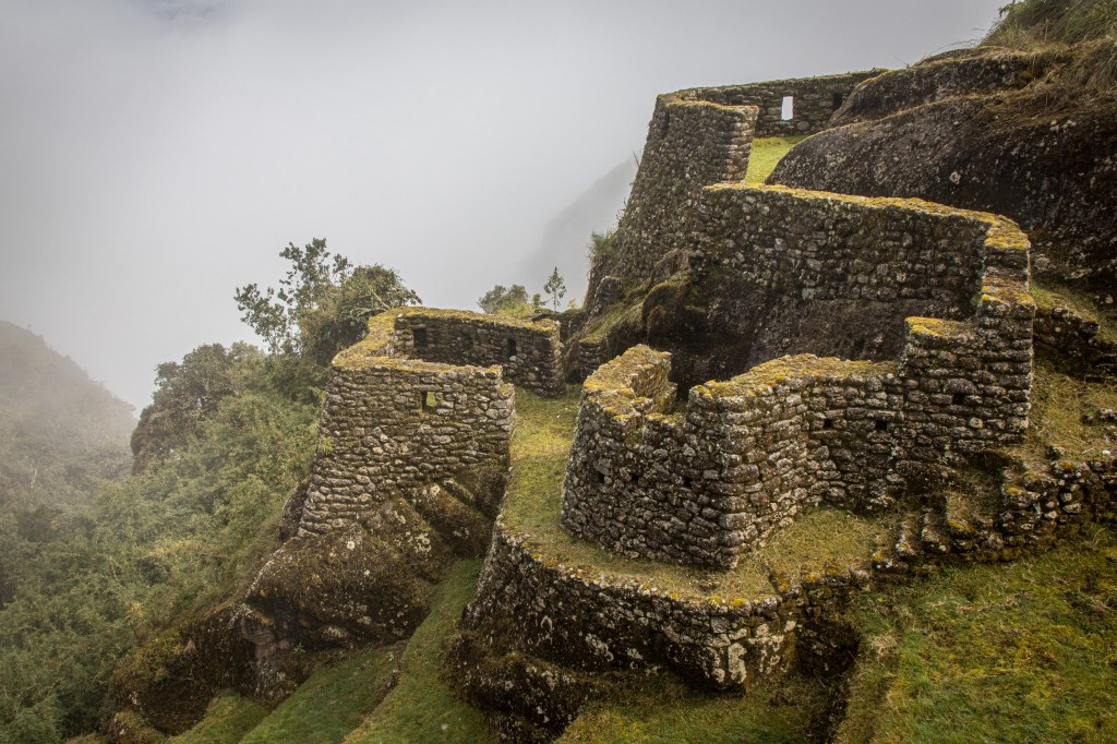
As I commented earlier, we passed through, or near, a lot of Incan ruins along the way. Pepe gave us his perspective on how the pieces tied together and, where we could, we wandered through the ruins to develop our own sense of life in Incan times. It constantly amazed us how there could be so much development in this remote and extremely rugged country.
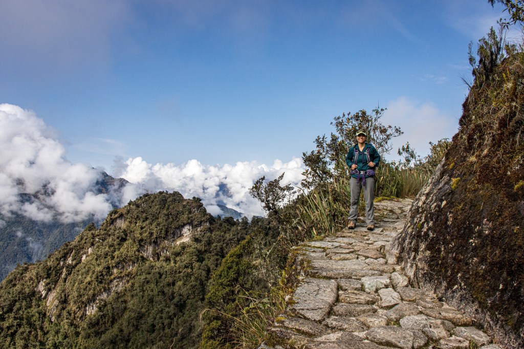
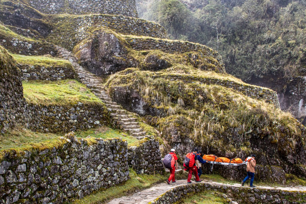
Our next, 3rd, morning was clear, bright and beautiful – a wonderful day for our next to last day on the trail. However, the gods of travel had a different plan for us. Sadly one of our party developed a nasty stomach bug overnight and couldn’t walk out. Luckily there are litters cached along the trail and the porters are familiar with carrying people out – things do happen and we weren’t the first to have problems.
Instead of doing the last bit of trail in 2 days, finishing with an early morning entry into Machu Picchu through the Sun Gate, we instead hiked the remainder of the trail, quickly, to get to some medical aid and an IV to administer antibiotics. So, we got to see the last 10 km of the trail in fast forward mode!
We did get to Aguas Calientes early that afternoon where a few IV bottles of antibiotic and anti-parasitic meds fixed the problem in surprisingly short order. They worked so well in fact that we were all able to go back up to Machu Picchu early the next morning to see this spectacular place. This is a UNESCO site as well as a “wonder of the world” and, after walking around and climbing above it is clear why. Even with so many people around it is still a spectacular place and well worth the visit – vale la pena!
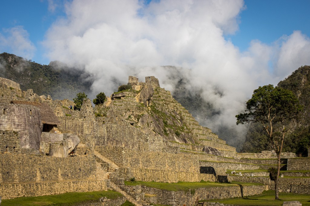
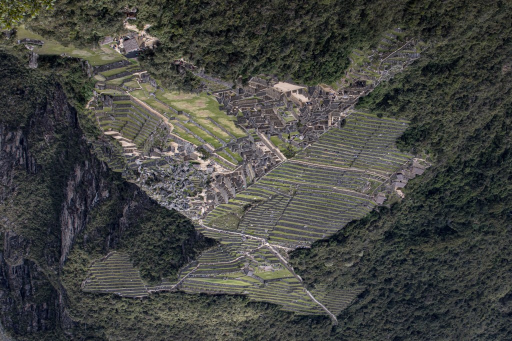
Mike and I also climbed up Wayanapicchu which is the mountain just behind Machu Picchu. It was very steep and had many, many more stairs but the view was spectacular. The photo below is from the top of Wayanapicchu though I have rotated it so you can see the shape of the condor for which Manchu Picchu is known – the head is lower left, tail is lower right and the wings rise above.
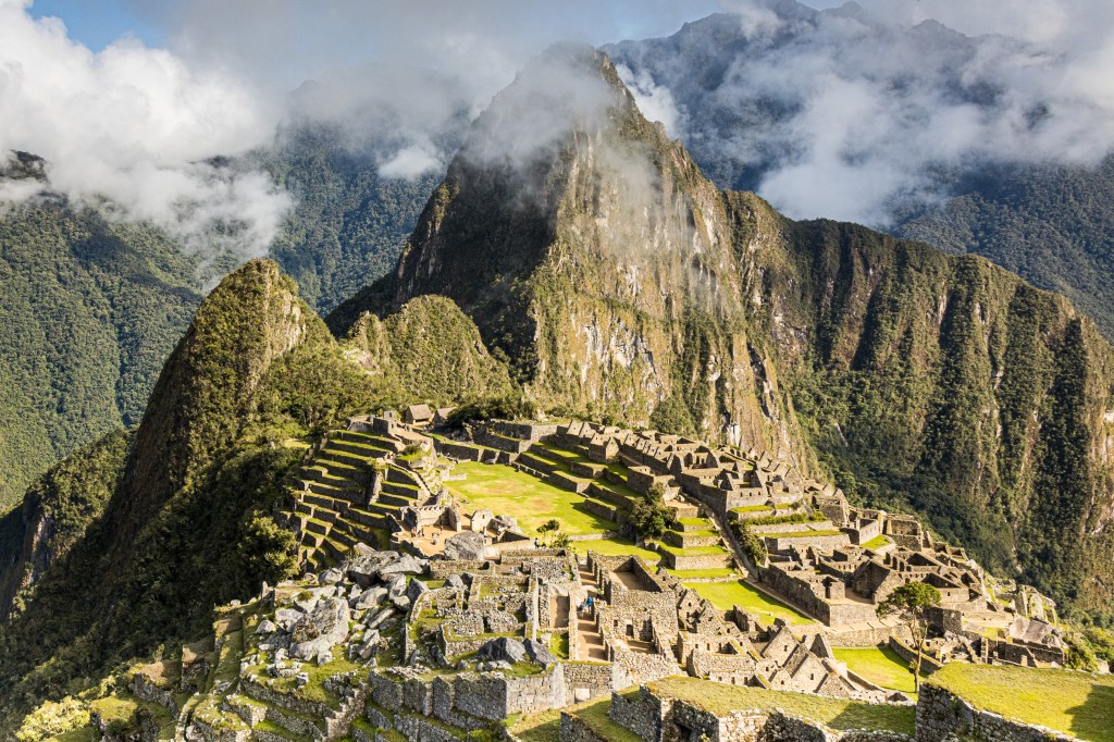
And finally, the iconic “Poster Photo” of Machu Picchu.
And now we’re off to explore Patagonia for the next 5 weeks or so. We hope to post some thoughts and images as we go into this next leg of our journey …

Epic Jim!! Thanks for sharing…
From: It’s About the Journey
Reply-To: It’s About the Journey
Date: Monday, December 16, 2019 at 5:57 AM
To: Mary Bolton
Subject: [New post] Inca Trail & Machu Picchu
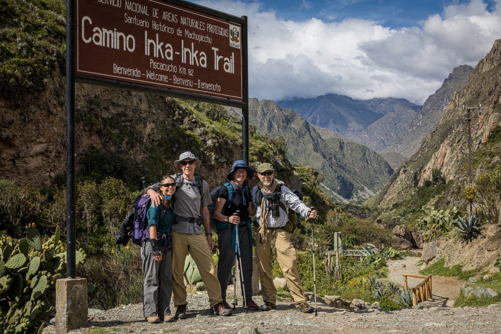
Jim Westfall posted: ” 16 December 2019 Susan, Karen, Mike and I at the start of the Inca Trail – December 7th 2019 We’re in southern Chile now, currently in Puerto Varas and headed south to Lenca today, and we’re finally getting around to writing something about our hik”
LikeLike
What a great narrative, complemented beautifully by your fantastic pictures. Thank you so much for taking the time and effort to put this together for us. I really appreciate it.
Love, Betsy
LikeLike