6 January 2020
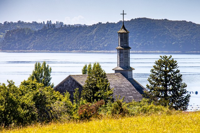
One of the many wooden churches overlooking the sea.
For a long time I’ve wanted to visit Chiloe, an archipelago in south western Chile, so when Susan and I started planning this trip that area was on the top of the list. What appealed to me about the area were the descriptions of the rolling green farmland, interesting fishing villages, friendly people and stories of witches and gnomes who got into all sorts of trouble in the night. We found all of that and a bit more but, sadly, no gnomes or witches.
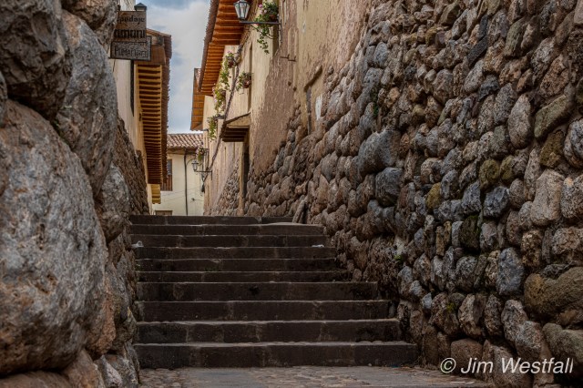
Another thing that Chiloe is known for is the old wooden churches dating back into the 18th and 19th centuries. Something like 16 of these churches have been designated as UNESCO World Heritage sites and have been restored and are being maintained. While neither Susan nor I are religious people, we did find that exploring for some of the churches led us to interesting out of the way places.
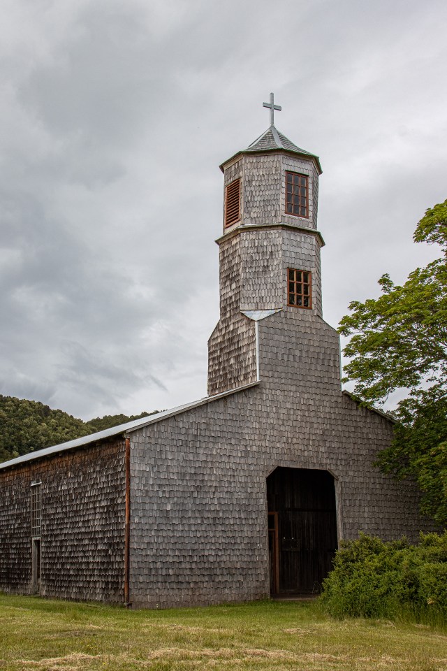
One of the churches on the island of Quinchao 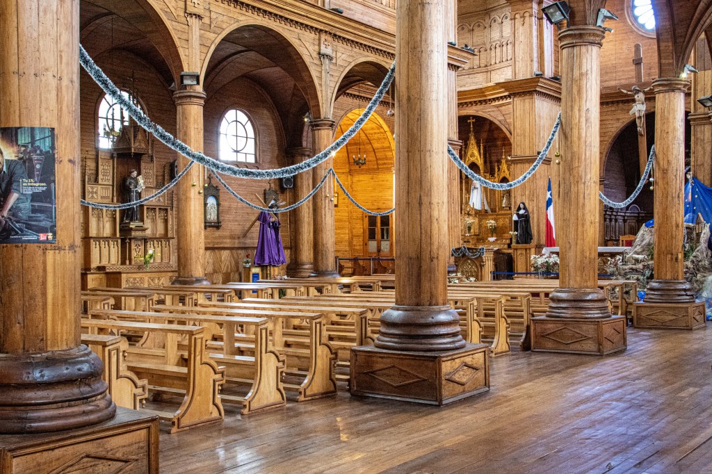
Iglesia San Francisco in Castro 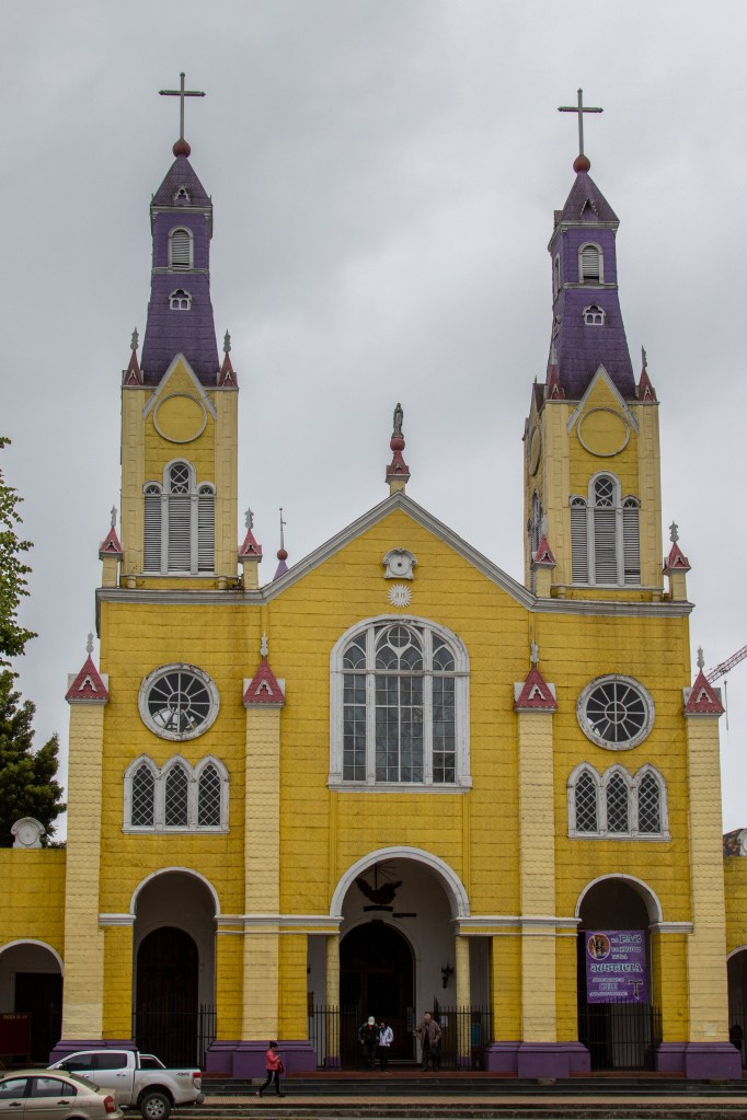
Iglesia San Francisco in Castro 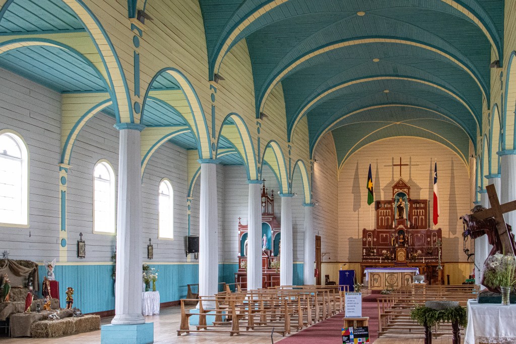
Inside the church in ChanchI
The churches were very similar in style to those we saw in Europe a couple years ago. They were just smaller and all wood. Overall, these were interesting and fun to visit.
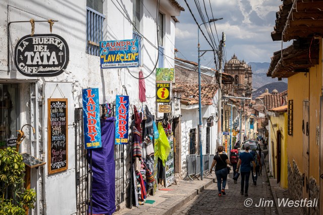
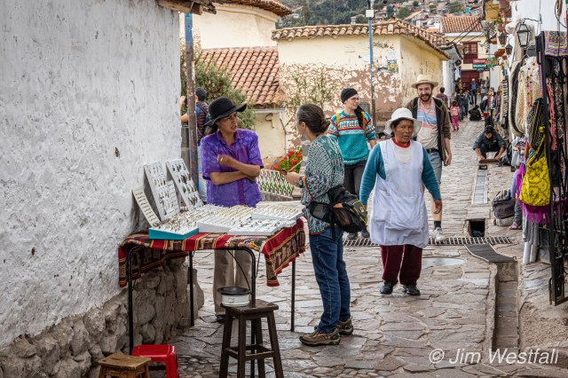
But more interesting were the many small fishing villages and rolling green countryside throughout the islands. This was just a very pleasant area to visit – muy lindo y muy tranquilo.
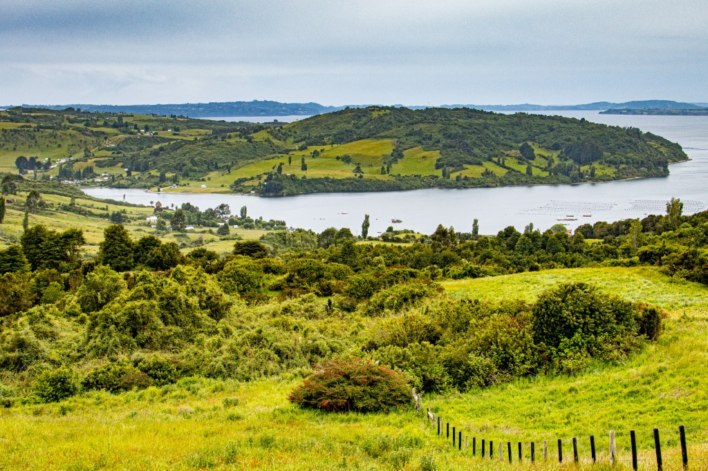
Rolling hills somewhere between Quemchi and Castro 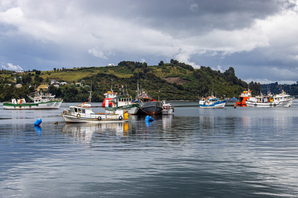
Harbor in Delcahue 
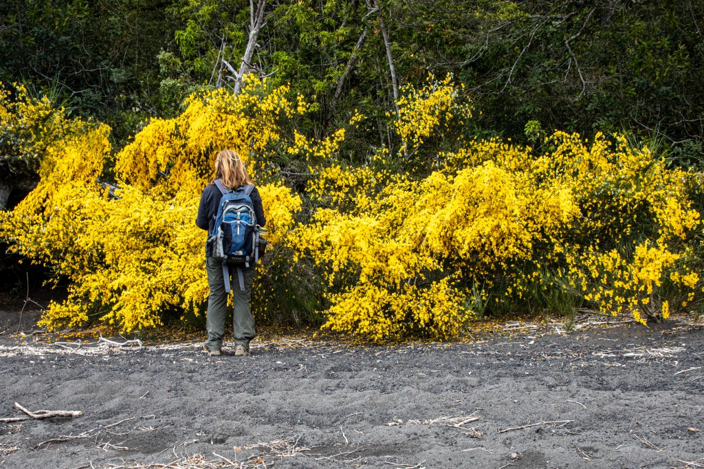
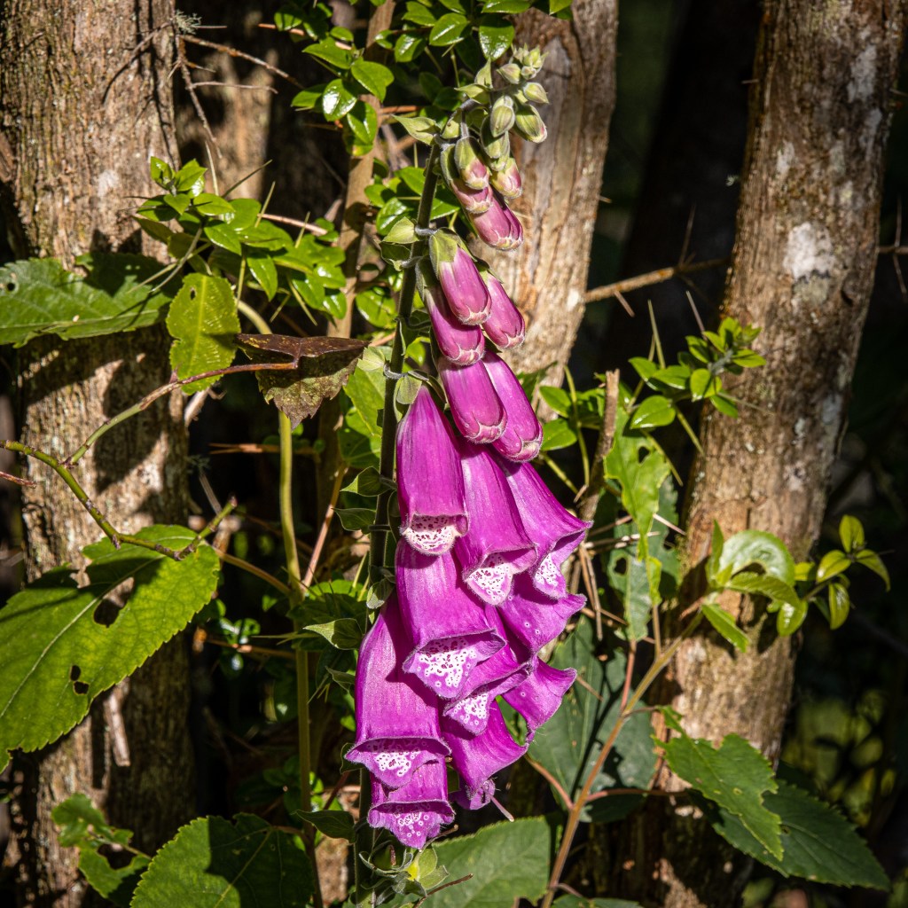
Flowers were everywhere 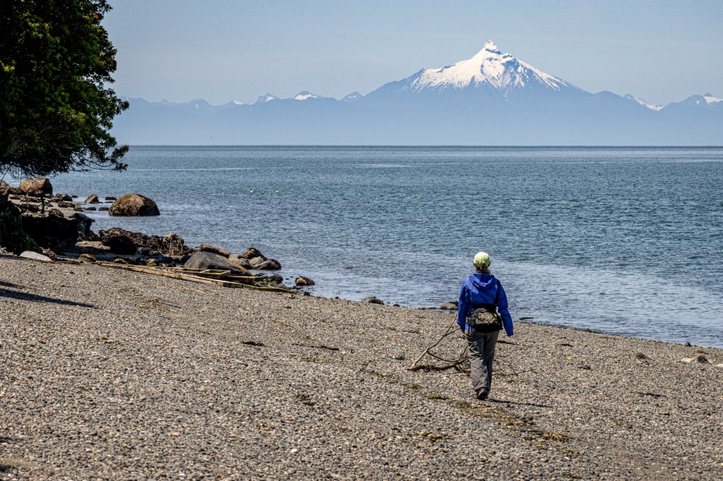
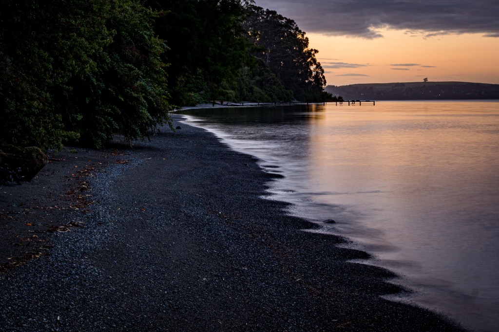
Walking the beach in Queilén 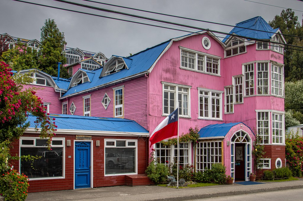
Throughout Chiloe we saw wonderful wood buildings like this one
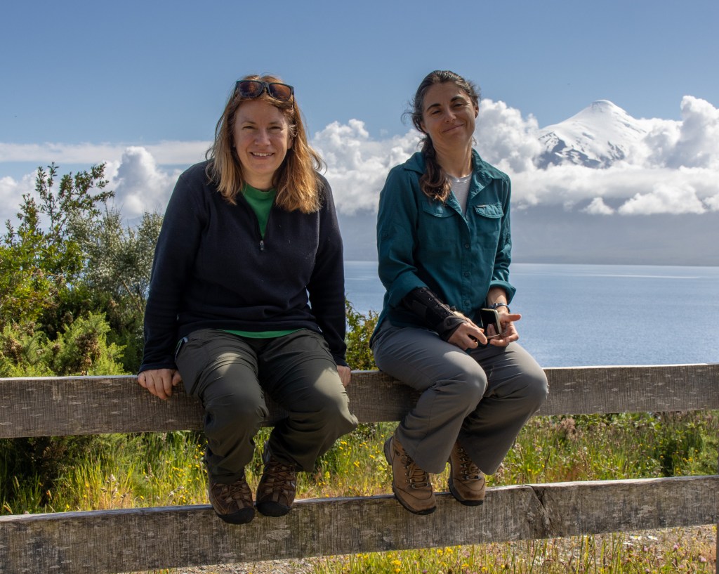
One of the spectacular things about the eastern coast of Chiloe is that, looking across the Golfo de Ancud to the east, we could nearly always see the Andes and Volcán Calafate. When we were lying in bed in our hotels or walking on the beach or just driving down the road, that backdrop of snow and peaks was always there waiting for us (and we’re in the midst of it all now!).
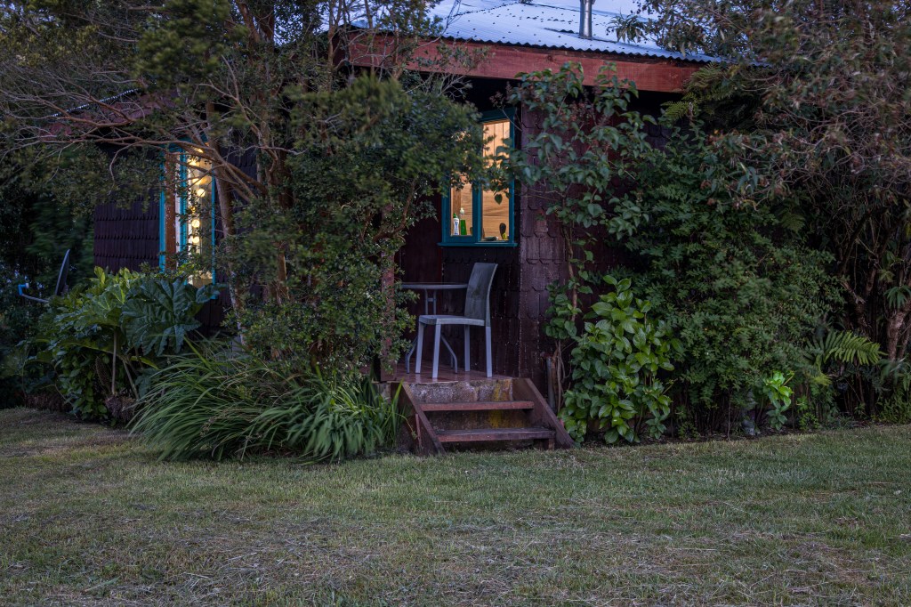
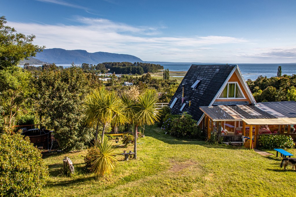
Our lodging was a fun mix in Chiloe – a farm stay near Quemchi, a palafito in Castro and quite a spectacular modern(ish) lodge in Queilén – El Coo Lodge. All were fun, run by interesting people and in each we met other travels with whom we could share our journeys.
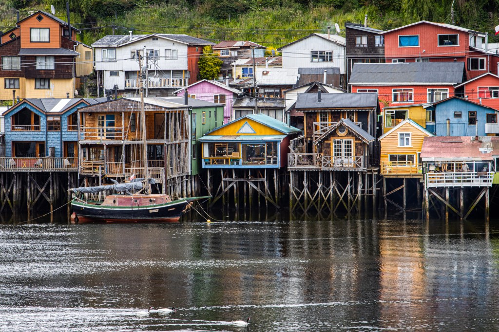
Palafitos in Castro 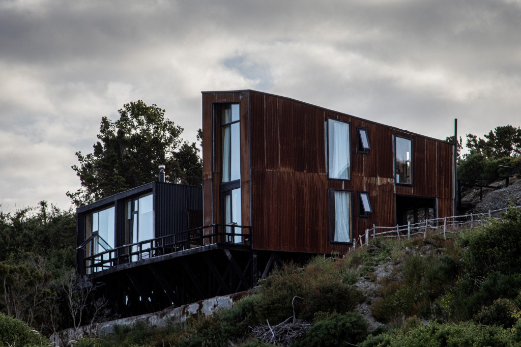
El Coo Lodge in Queilen 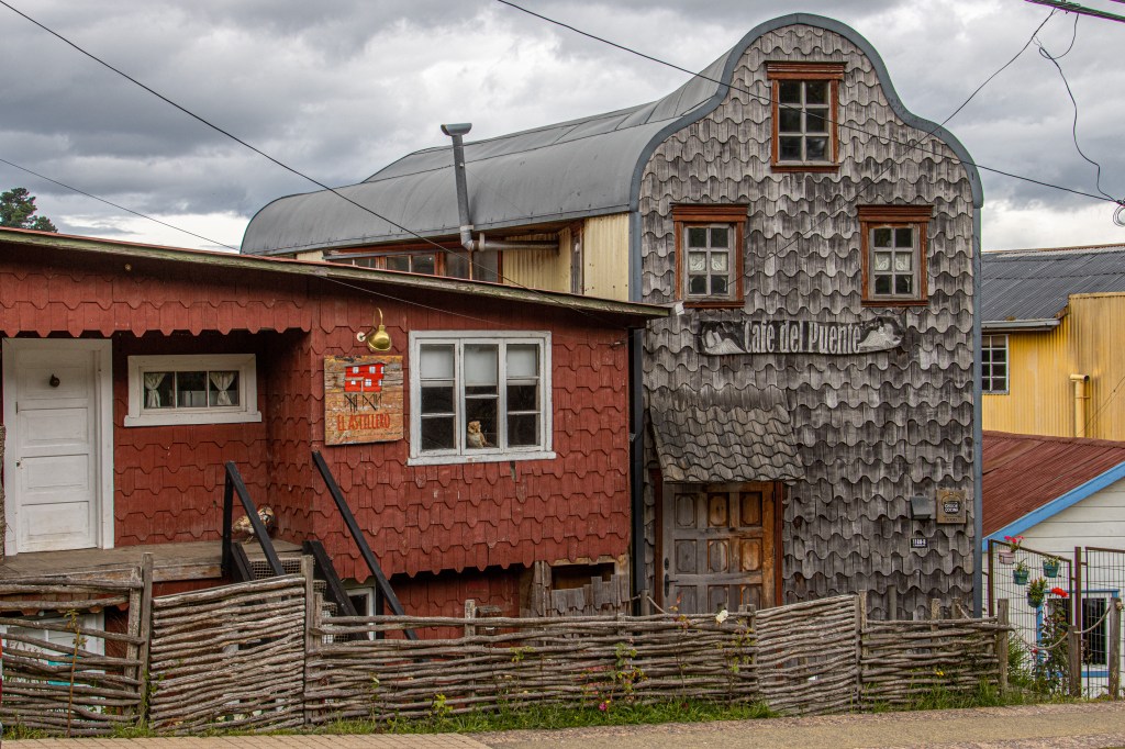
Alerce-shingled buildings
When you travel in southern Chile in a car you have to use ferries in a number of places to get between islands or across the fjords of the southern archipelagos. They often run well but we had been warned that you have to be flexible because sometimes they don’t.
So, when we were ready to leave Chiloe, from the port of Quellón, and travel to Chaitén back on the mainland, we had booked a ferry for the 4-hour crossing. It got cancelled a day before departure and we had to scramble to get to our next hotel on time. We did find a ferry that had room for us and our car, running from Puerto Montt to Chaitén, so we hightailed it back to P.M., caught the ferry at 11PM and got into Chaitén at 8 the next morning. We were maybe a little ragged for lack of sleep but in the end it all worked out and we’re now back in the rainforests at the base of the Andes.
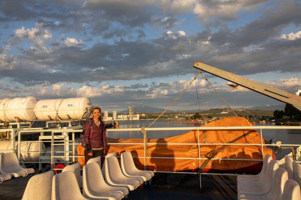
Susan on the ferry 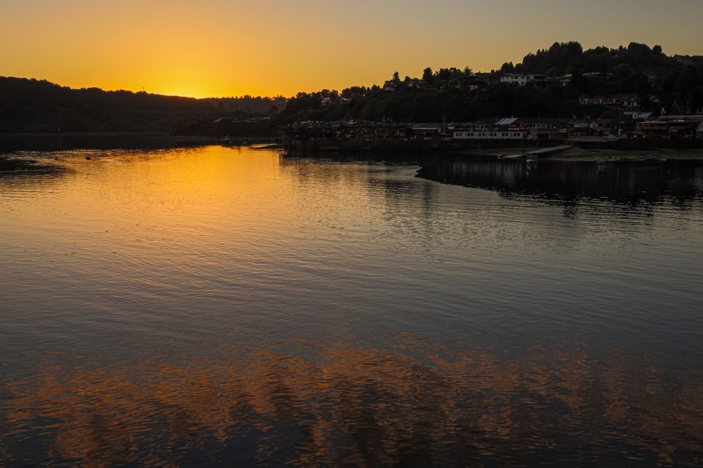
Sunset ting in Puerto Montt just before leaving 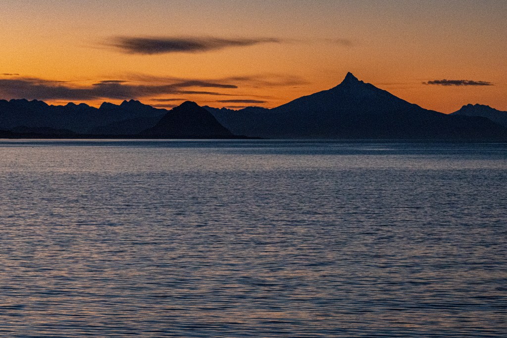
Sunrise as we approached Chaitén with Volcán Chaitén on the horizon
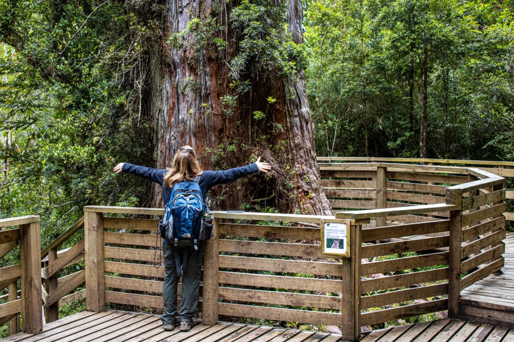
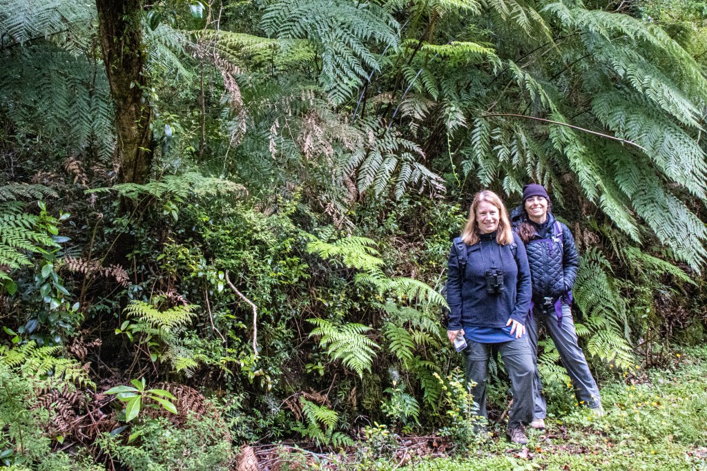
We’ve been here in Chaitén for a few days now, exploring the mountains, volcanoes and glaciers, and we’re about to head north to Caleta Gonzalo to do more of the same. As far as we can tell, we won’t have internet connection until about the 15th when we get back to our hotel in Puerto Varas.
After the 15th I’ll send along few more photos before we fly back to Colorado on the 20th.